
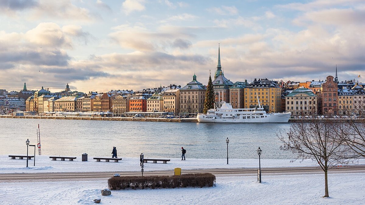
A short climb from Mariatorget onto Mariaberget, the protected 18th-century cliff quarter on north-west Södermalm, then west along the cliff path Monteliusvägen to Skinnarviksberget, the highest natural point in the inner city, with the whole of Riddarfjärden, City Hall and Gamla stan below.
Best time: The hour before sunset, any season; on summer evenings Skinnarviksberget fills with picnics
The route, stop by stop
- 1Mariatorget
Start on the park-like square between Hornsgatan and Sankt Paulsgatan (called Adolf Fredriks torg before 1959). 10 min.
- 2Bastugatan
The 600 m lane along the top of Mariaberget, named after the bath houses that stood on the slope in the 1600s. The eastern part of Mariaberget is a protected cultural reserve that Stadsmuseet rates as of very high historic value; at the corner of Bellmansgatan stands the red-brick Laurinska huset. 15 min.
- 3Mariahissen
The iron footbridge over Bastugatan leads to the Mariahissen lift tower from the 1880s. Look over the rail at Riddarfjärden and Gamla stan. 5 min.
- 4Ivar Los park
Small hilltop park named in 1990 after the writer Ivar Lo-Johansson, who lived across the street at Bastugatan 21 from 1934 until his death. Nils Möllerberg's bust of him stands here, and the view over the water is one of the best on Söder. 10 min.
- 5Monteliusvägen
The 416 m cliff path opened in 1998, high above Söder Mälarstrand, with benches and terraces facing Riddarfjärden, Kungsholmen, Riddarholmen and Gamla stan. Named after the archaeologist Oscar Montelius. 20 min.
- 6Skinnarviksberget
At 53 m above the sea, the highest natural point in the inner city, named after the 17th-century tanners (skinnare) who worked by the shore below. Very popular with Stockholmers for parties and summer picnics, with the view over Riddarfjärden, Norr Mälarstrand, Gamla stan and City Hall. 30 min.
More walks in Stockholm
- Gamla stan beyond the crowds: Riddarholmen, Stortorget and the back lanes
- East Södermalm: Fjällgatan, Vita bergen and the 18th-century wooden houses
- Djurgården: Vasa, Rosendal and the art villas to Blockhusudden
- Skeppsholmen and Kastellholmen: the museum island and the citadel
- Östermalm and Strandvägen: Hallwylska, the market hall and the waterfront boulevard
- Kungsholmen waterfront: City Hall, Norr Mälarstrand and Rålis to Västerbron
- Långholmen and Reimersholme: the prison island and the bathing rocks
- Hagaparken: Gustav III's pavilions and the Copper Tents on Brunnsviken
- Vasastan: Strindberg's Blue Tower, the observatory hill and Asplund's library
- Skogskyrkogården: Asplund and Lewerentz's Woodland Cemetery (UNESCO)
- Tunnelbana art ride: T-Centralen, Kungsträdgården, Rådhuset, Solna centrum, Stadion, Tekniska högskolan